Submit or Track your Manuscript LOG-IN

GIS Applications in Surveying and Mapping of Rice Weeds in Guilan Province, Iran

Mohammad Javad Golmohammadi1, Hamid Reza Mohammaddoust Chamanabad1*, Bijan Yaghoubi2 and Mostafa Oveisi3
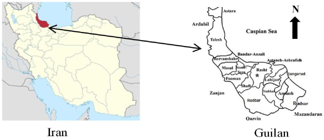
1Department of Agronomy and Plant Breeding, Faculty of Agriculture and Natural Resource University of Mohaghegh Ardabili; Ardabil, Iran; 2Rice Research Institute of Iran, Agricultural Research, Education and Extension Organization, Rasht, Iran; 3Department of Agronomy and Plant Breeding, Faculty of Agriculture University of Tehran; Karaj, Iran.

 
*Correspondence | Hamid Reza Mohammaddoust Chamanabad, Department of Agronomy and Plant Breeding, Faculty of Agriculture and Natural Resource University of Mohaghegh Ardabili; Ardabil, Iran; Email: hr_chamanabad@yahoo.com

Figure 1:

Geographic map of Guilan province.
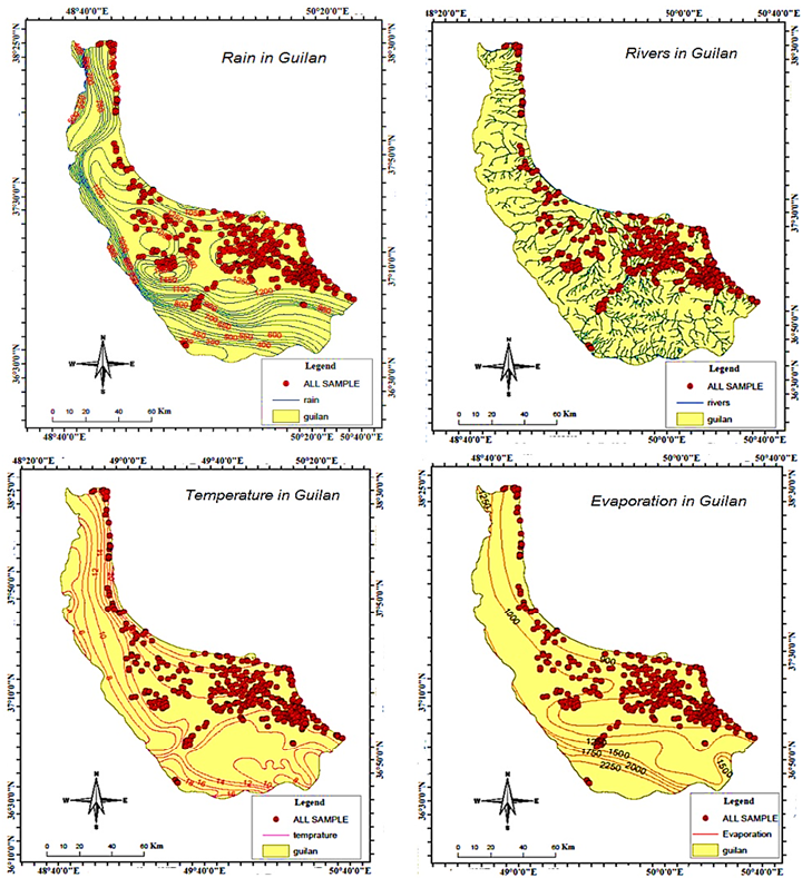
Figure 2:

Geographic map rain, rivers, temperature, evaporation in Guilan province.
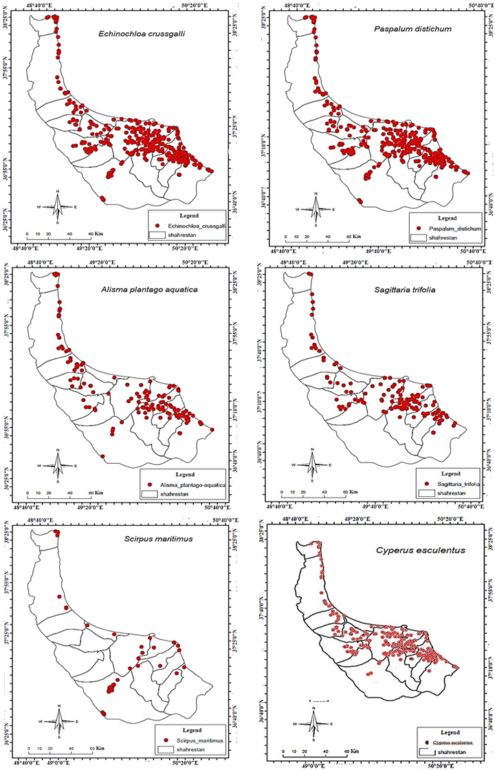
Figure 3:

Veiw of map showing of Echinochloa crussgalli, Paspalum distichum, Alisma plantago-aquatica, Sagittaria trifolia, Scirpus maritimus, Cyperus esculentus in the fields of Guilan province.

Sarhad Journal of Agriculture

March

Sarhad Journal of Agriculture, Vol.40, Iss. 1, Pages 01-262

Featuring

Click here for more

Subscribe Today

Receive free updates on new articles, opportunities and benefits


Subscribe Unsubscribe