
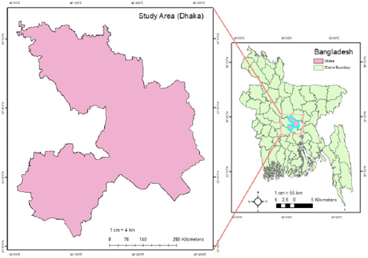
Figure 1:
The study area location map of Dhaka, Bangladesh. The image was created using ArcGIS 10.8 (ArcGIS Enterprise, ESRI, California, USA).
The study area location map of Dhaka, Bangladesh. The image was created using ArcGIS 10.8 (ArcGIS Enterprise, ESRI, California, USA).