
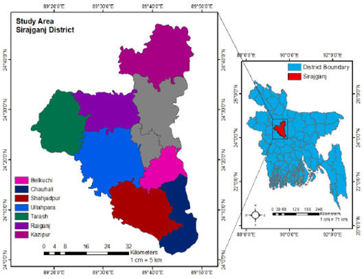
Figure 1:
Sampling area map of the selected Upazilas of Sirajganj district, Bangladesh. Image was extracted from DIVA-GIS (https://www.diva-gis.org/) and provided by the Geographical Information System (GIS). Finally the map was created using ArcGIS 10.7 (ArcGIS Enterprise, ESRI, California, USA).