
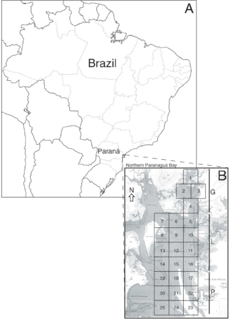
Fig. 2.
Study area maps. A, The general location of Paranaguá Bay estuary in Paraná State, Brazil, B, The northern portion of Paranaguá Bay estuary, where an area of approximately 100 km2 was surveyed for Sotalia guianensis habitat use. The area was divided as a grid; squares of ~ 3.2km2 were used to track dolphin group locations. G, Guaraqueçaba Bay; L, Laranjeiras Bay; P, Peças Island. Map adapted from publicly available Nautical Chart # 1820. Diretoria de Hidrografia e Navegação, Marinha do Brasil.